Showing posts with label East Village weather. Show all posts
Showing posts with label East Village weather. Show all posts
Tuesday, September 18, 2012
Relive the memories: In case you missed the storm
On a rather flooded Second Avenue and East 10th Street a little bit ago via Tompkins Square Bagels proprietor Christopher Pugliese...
Saturday, September 8, 2012
Today in photos of angry looking storm clouds
As I first reported, it rained today.
And our brave correspondents, uh, braved the rain for these photos...
Via Matt LES_Miserable...

And from Greg Masters...


...from EVG...

...and Shawn Chittle...

And our brave correspondents, uh, braved the rain for these photos...
Via Matt LES_Miserable...

And from Greg Masters...


...from EVG...

...and Shawn Chittle...

Friday, August 10, 2012
Clearing up?

Just now, via Bobby Williams... the showers are ending here. Meanwhile, tonight, there's a 95 percent chance of woo.
Thursday, July 26, 2012
Meanwhile, right before the end of the world...
AKA more photos of the derecho (a derecho?) ... Hey, more incoming storm photos ... these shots via EVG reader Tony Devers...


In case you already haven't done so, RUN! HIDE!
Oh, just cashing in on the bad weather hysteria... Still, be careful out there...
 [Via @edwardzick]
 [Via EVG reader Chris M]


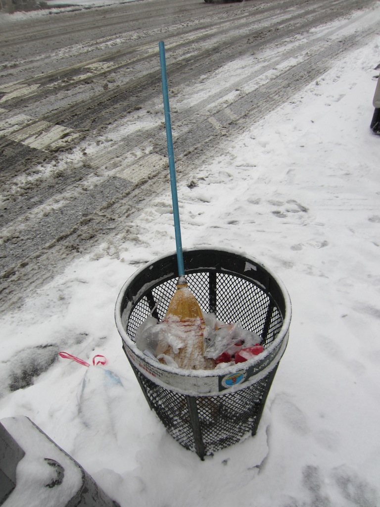
Saturday, January 21, 2012
A few scenes from The Storm of the Saturday®
It's here — The Storm of the Saturday® ... the most devastating 2-3 inches of snow that we've had all day... Here's how things are looking .... so far...


And we were waiting for that one guy who always runs out for a quick errand in shorts in weather like this ...


And we were waiting for that one guy who always runs out for a quick errand in shorts in weather like this ...


Friday, January 20, 2012
From the EV Grieve Weather Center

This just in from EV Grieve Weather Correspondent Shawn Chittle. See that roundish, blue blob hovering over what used to be Northern Illinois and Indiana? Yes, it's headed this way.
Per our sources at The Weather Channel (Woo! Jim Cantore!):
... WINTER WEATHER ADVISORY REMAINS IN EFFECT FROM 1 AM TO 4 PM EST SATURDAY...
* LOCATIONS... NEW YORK CITY... MOST ADJACENT SECTIONS OF NORTHEAST NEW JERSEY... AND MOST OF WESTERN LONG ISLAND.
* HAZARD TYPES... SNOW. PRECIPITATION MAY MIX WITH RAIN AND SLEET LATE SATURDAY MORNING AND INTO EARLY AFTERNOON BEFORE ENDING SATURDAY AFTERNOON.
* ACCUMULATIONS... 4 TO 6 INCHES OF SNOW.
* WINDS... NORTHEAST 5 TO 15 MPH WITH GUSTS UP TO 20 MPH.
* TEMPERATURES... IN THE UPPER 20S.
We calmly suggest that you start to panic.
We'll have live team coverage starting tomorrow. Whenever we wake up. (Noonish or so.)
Tuesday, June 14, 2011
Before the rain this afternoon

AWKWORD sent us this photo right before the rainstorm a little bit ago ... from a rooftop near Second Avenue and East Fourth Street.
Subscribe to:
Posts (Atom)