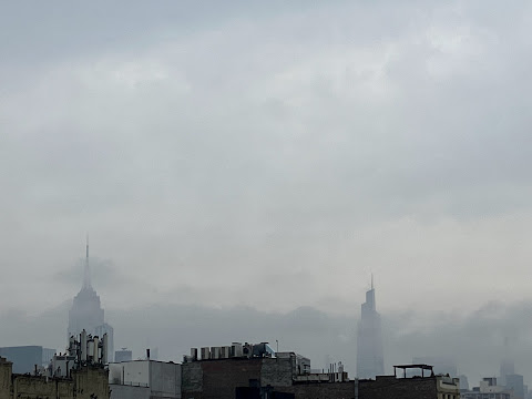
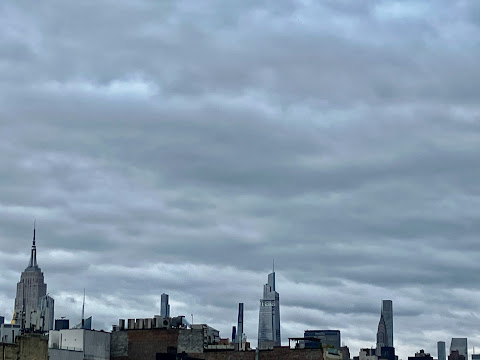
We were out of town for a few days and will be getting back into the EV groove here soon.
P.S.
A nice view of the remains of East River Park...
Rain expected 4/1 - 4/2 ; Severe thunderstorms possible on Saturday night (4/1)This is not an April Fools' joke! Half an inch of rain is expected from around 2 a.m. Saturday, April 1, to around 2 a.m. Sunday, April 2. Flooding is not expected at this time. There is also a chance for severe thunderstorms Saturday between 7 p.m. and 10 p.m.
WHAT...Northeast winds 20 to 25 kt with gusts up to 35 kt and seas 2 to 4 feet.WHERE...Long Island Sound west of Port Jefferson and New Haven, and New York Harbor.WHEN...Until 6 PM EDT this evening.IMPACTS...Strong winds will cause hazardous seas which could capsize or damage vessels and reduce visibility.PRECAUTIONARY/PREPAREDNESS ACTIONS... Mariners should alter plans to avoid these hazardous conditions. Remain in port, seek safe harbor, alter course, and/or secure the vessel for severe conditions.
After a smoky sunset Monday evening, heavy smoke continued to hang over the Northeast on Tuesday, as a result of more than 100 wildfires burning in the western U.S. and more in Canada. Air quality advisories were in effect for much of Canada and had been issued for Pittsburgh, Philadelphia and New York City as the smoke descended from the upper levels of the atmosphere.
The AQI reading in New York City Tuesday afternoon was an unhealthy 122, the highest this year so far. At this elevated number, health effects can be immediately felt by sensitive groups. Healthy individuals may experience difficulty breathing and throat irritation with prolonged exposure, and should limit outdoor activity.The smoke will likely clear out overnight as a cold front moves into the area, AccuWeather notes.